15 Best Hikes in Mount Rainier with Stunning Views
Mount Rainier National Park offers over 260 miles of well-maintained trails. From leisurely strolls through wildflower meadows to challenging climbs up rugged peaks, there’s a trail for hikers of all skill levels. The stunning views of Mount Rainier, an iconic stratovolcano cloaked in glaciers, can be seen from many different trails. But with so many options, and also different parts of the park where the Mount Rainier hikes start, it’s difficult to pick the right Mount Rainier hike. Therefore we made this complete guide to the best hikes in Mount Rainier for all skill levels.
What you need to know about hiking in Mount Rainier National Park
Located in West-Central Washington state, Mount Rainier National Park covers an area of approximately 236,381 acres (or 369.35 square miles) of protected wilderness. The iconic stratovolcano, Mount Rainier, stands at 14,411 feet (4,392 meters) above sea level and is the eye-catcher of the park.
Because the park is so stretched, there are four main sections from where the different Mount Rainier hikes start. All these areas wrap around the base of Mount Rainier and are known as Paradise, Sunrise, Ohanapecosh, and Carbon River – Mowich Lake.
Because these areas are not closely located to each other, it’s crucial to understand which Mount Rainier hikes are located per section. Effectively planning your visit to the park and selecting the best hikes in Mount Rainier is the best way to make the most of your visit.
Which section of Mt Rainier is the best?
Determining the “best” section of Mount Rainier National Park depends on what you like to see during your visit. However, the main reason for exploring Mount Rainier National Park is obviously to get the best views of Mount Rainier. Therefore most of the trails we share in this guide will be focussed on epic views of Mt Rainier, and some beautiful waterfall hikes as well.
The two best areas for hiking in Mount Rainier National Park are Paradise and Sunrise. These sections have the most hiking trails suitable for various skill levels, including the famous Skyline Trail and trails leading to waterfalls and glacier viewpoints.
15 BEST HIKES IN MOUNT RAINIER NATIONAL PARK
Best Mount Rainier hikes in the Paradise area
Skyline Loop Trail
The Skyline Trail Loop is one of the most popular hikes in Mount Rainier NP. If you have little time in the park, then this is one of the must-do hikes! Because of its popularity, the trail can get crowded, so make sure to leave early.
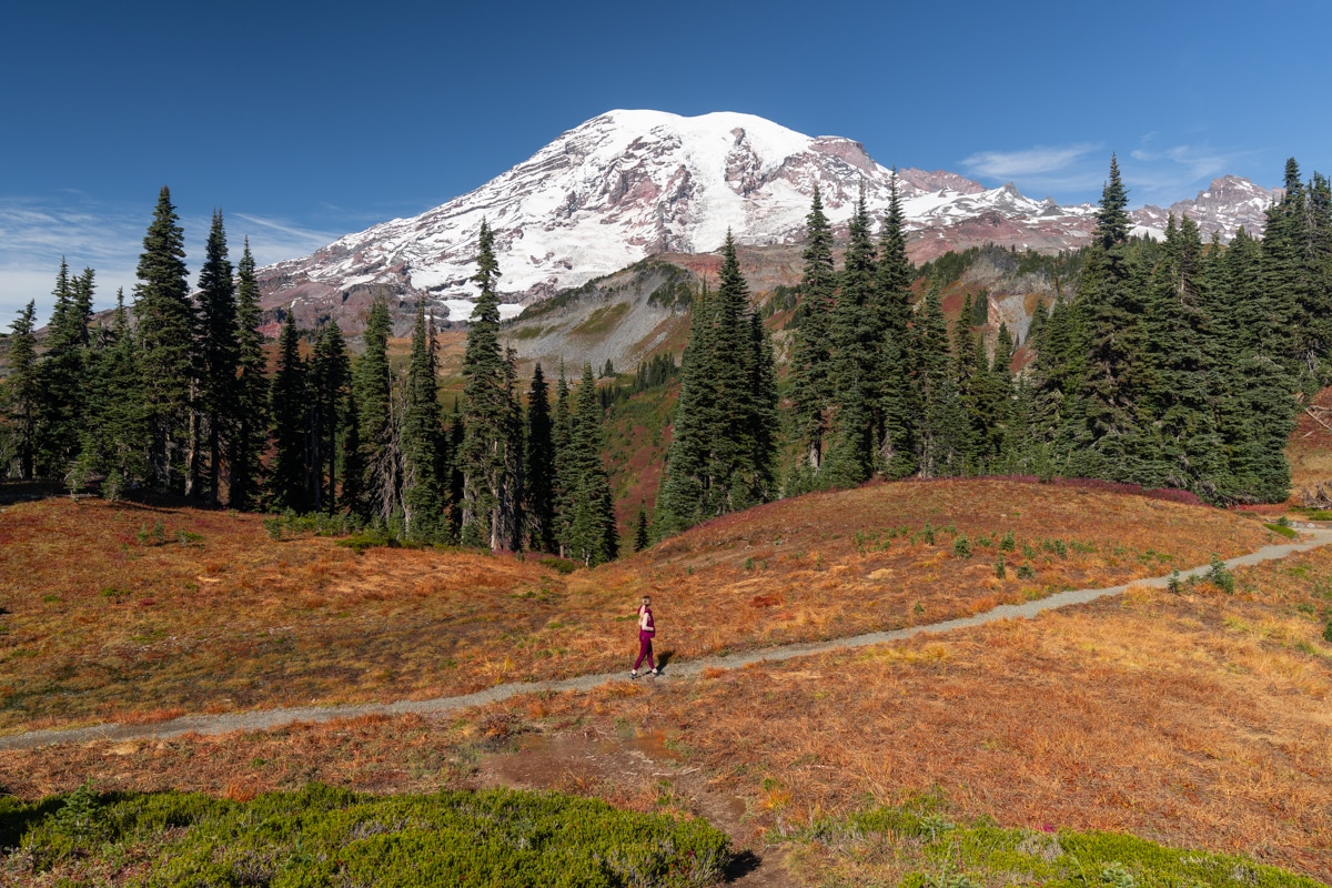
The Skyline Loop Trail is wonderful in every season, from the wildflower season in spring and summer to the vibrant Huckleberry Bushes that turn red along the Skyline Trail in autumn. Even in the winter months, you’re able to access this hike if the National Park Service allows visitors to use the road to Paradise.
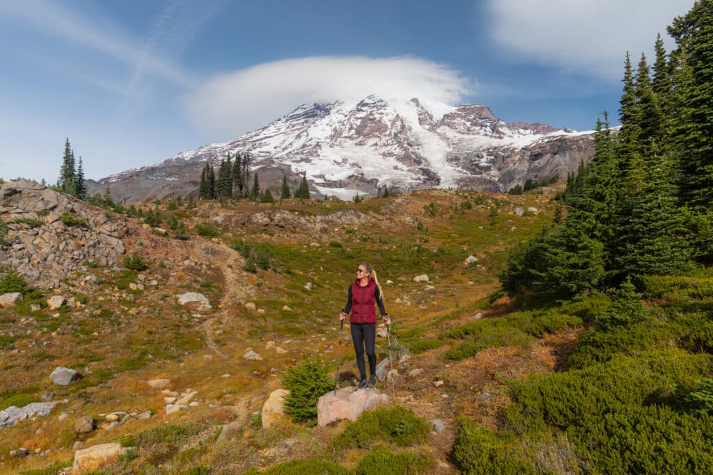
Our most important advice is to hike the Skyline Loop Trail clockwise because then you’ll have great views of Mount Rainier straight ahead throughout the steeper climb. Once you get to Panorama Point you might even see Mount Adams and Mount Hood on a clear day.
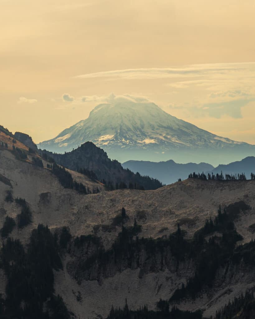
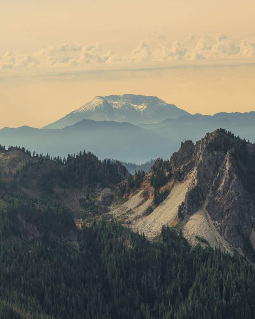
Along the trail you also have the chance to see mountain goats. We had the luck to spot one! When heading back from Panorama Point and completing the loop, you can follow the short spur trail along the Golden Gate Trail for a slightly shorter route back to the parking lot via Myrtle Falls.
Distance: 5.7 miles
Difficulty: Moderate
Elevation gain: 1,768 ft
Time needed: 3 – 4 hours
Trailhead: Upper Paradise parking lot
Read in our complete guide everything about the Skyline Trail
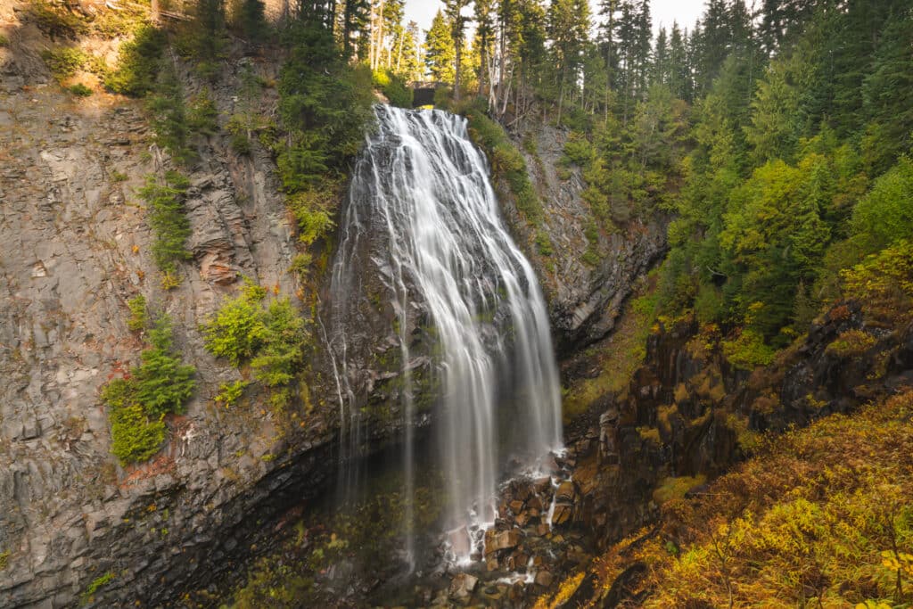
Narada Falls
Located on the road from Longmire to Paradise, the stunning horsetail-like Narada Falls of 176 feet in height can be admired from the base of the falls. Via a short but steep trail, you can get to the bottom where you can see the multiple channels seeping down the rock face.
Distance: 0.2 mile
Difficulty: Easy
Elevation gain: 59 feet
Time needed: 30 minutes
Trailhead: Narada Falls Comfort Station
Mazama Ridge Trail
Mazama Ridge is a fun hike that you can perfectly combine with a few other points of interest if you want to make it a loop trail. Starting from the small parking area along the Paradise Road, you can walk straight up the Fourth Crossing Trail, join a part of the Skyline Trail and then continue to the right along the official Mazama Ridge Trail.
You will pass stunning fields of wildflowers in the spring and summer months, and in autumn this trail is one of the best to see the vibrant red Huckleberry Bushes.
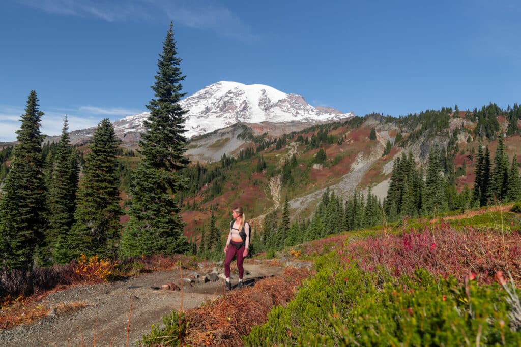
With a fantastic view over Louise Lake and the Paradise Valley, the viewpoint Faraway Rock halfway of Mazama Ridge is a great place for a lunch break.
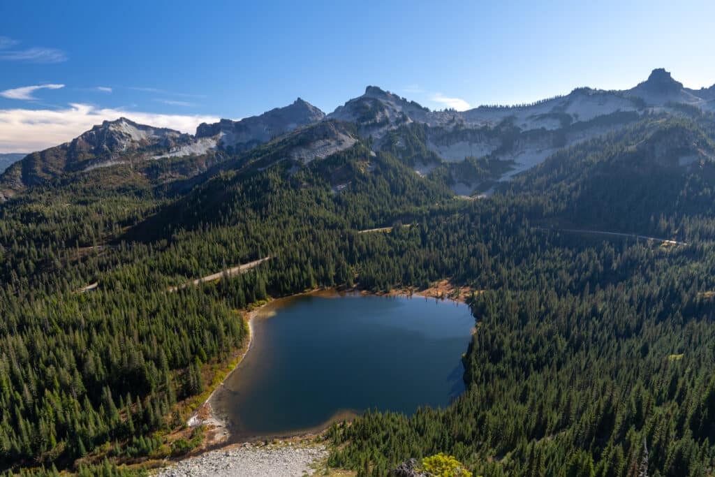
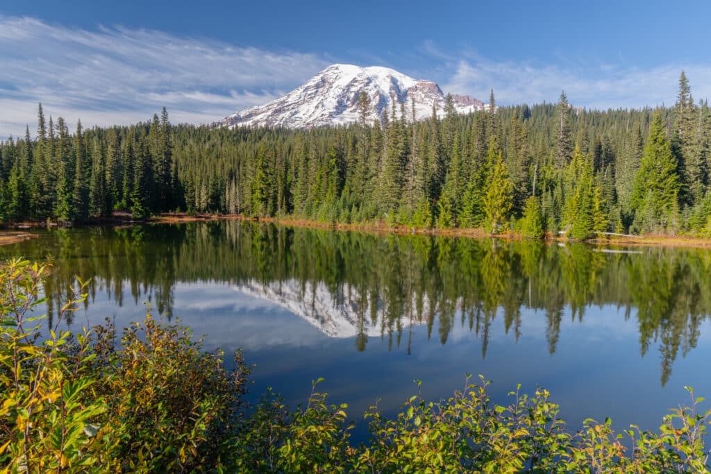
Then you’ll have a few options to hike back. You can either follow the High Lakes Trail and join the Lower Lakes Trail to make it a loop. Or, in case the Stevens Canyon Road is closed due to the season, you can continue down along the Mazama Ridge to combine Reflection Lake with this hike, and then hike via the Lower Lakes Trail back to the parking lot. This was one of our favorite hikes because of the diversity you can see along the trail. And the best part is that there are fewer people along this trail, especially compared to the Skyline Trail.
Distance: 6 miles for the loop as I described it
Difficulty: Moderate
Elevation gain: 1562 ft
Time needed: 3 – 4 hours
Trailhead: Paradise Road, Mazama Ridge Trailhead
Myrtle Falls
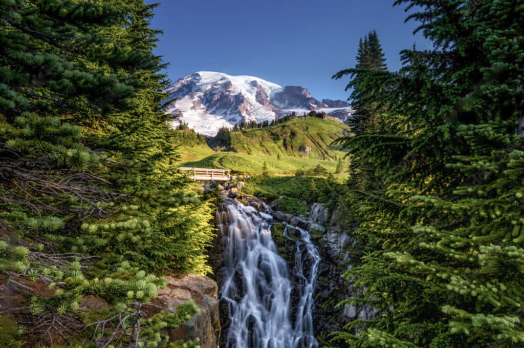
The Myrtle Falls can be easily combined with the Skyline Trail. But if you don’t plan on doing the full loop, then you can also just visit Myrtle Falls. This is a very short hike but with a stunning view of Myrtle Falls and Mount Rainier. The paved path starts next to the Paradise Inn and is one of the perfect easy trails for families.
Distance: 1 mile
Difficulty: Very easy
Elevation gain: 100 feet
Time needed: 30 minutes – 1 hour
Trailhead: Upper Paradise Parking Lot
Nisqually Vista Trail
Following a paved path, the Nisqually Vista Trail is a perfect short hike for people wanting beautiful Mount Rainier views with little effort. The trail overlooks the Nisqually Glacier, or what is left of it, and the Nisqually River Valley which was sculpted by the glacier.
Distance: 1.2 mile loop
Difficulty: Easy
Elevation gain: 200 ft.
Time needed: 30 – 45 minutes
Trailhead: Lower Paradise parking lot
Comet Falls
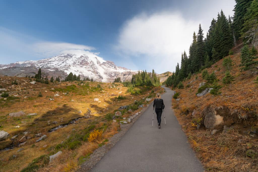
The Comet Falls trail is a steady climb and includes scaling a ladder on the steepest part. It’s nothing to worry about but worth noting if you’re not experienced. While the huge Comet Falls of 300ft is the eye-catcher of this hike, the waterfall before Comet is just as stunning. Bloucher Falls is a three-tiered waterfall of 124ft in height and a beautiful sight on its own.
Distance: 3.8 miles
Difficulty: Moderate
Elevation gain: 1,250 ft.
Time needed: 3 hours
Trailhead: Paradise Valley Road, Comet Falls & Van Trump Trailhead
Naches Peak Loop
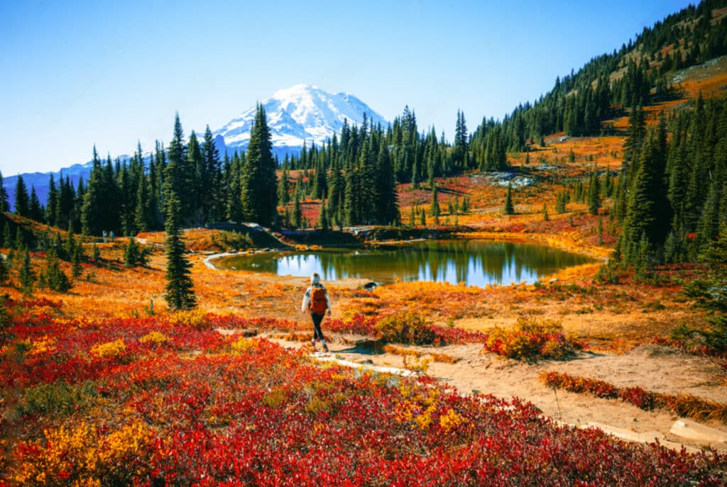
The Naches Peak Loop trail is without a doubt one of the best hikes in Mount Rainier National Park. With splendor views of Mount Rainier, wildflowers in spring and summer, vibrant fall colors in September and views of several picturesque lakes, this is a true bang for your buck hike.
And the best part is that it’s an easy hike with only 600 ft of elevation gain over 3.4 miles. Therefore it’s also a perfect family-friendly hike with plenty of beautiful views to see along the trail.
Distance: 3.4 miles
Difficulty: Easy
Elevation gain: 600 ft.
Time needed: 1.5 – 2.5 hours
Trailhead: Tipsoo Comfort Station Sunrise area
Snow Lake Trail
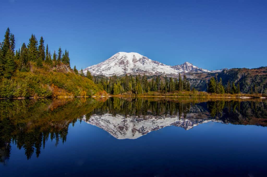
The Snow Lake Trail and Bench Lake Trail takes you along these two stunning alpine lakes. The high advantage of this Mount Rainier hike is that it’s way less crowded. So it’s a great option for those looking for a quiet trail.
The Snow Lake Trail starts along Stevens Canyon Road, close by Reflection Lake, where you’ll find a small car park with room for 12-15 cars. The first part of the hike takes you uphill through a combination of forest and open meadows where you can see wildflowers during the summer months. Make sure to take the spur trail to Bench Lake at around 0.75 miles into the hike. Both Snow and Bench Lake are stunning, but from Bench Lake you’ll have the best views on Mt Rainier.
Distance: 2.2 miles
Difficulty: Easy
Elevation gain: 600ftfeet
Time needed: 2 hours
Trailhead: Bench and Snow Lake Trail on Google Maps, located along Stevens Canyon Road.
Pinnacle Peak trail until the saddle
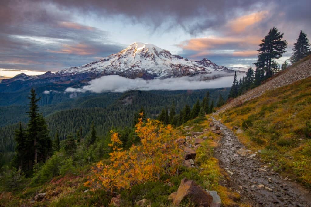
The Pinnacle Peak trail is a short but very steep hike with panoramic views of Mount Rainier at the top. You don’t have to finish the complete trail to the Pinnacle peak, as the views from the saddle are already beautiful looking into the valley to Rainier’s south face.
The first part of the hike goes through a beautiful pine forest. But after this part, the trail changes into a rock field. This is not a well-marked trail and also adds a bit of scrambling. So if you’re inexperienced with scrambling, then enjoy the views from the saddle and return so you don’t have to navigate a narrow trail with loose gravel.
Distance: 2.8 miles
Difficulty: Hard
Elevation gain: 1,423 feet
Time needed: 2 – 3 hours
Trailhead: Stevens Canyon Road near Reflection Lake
Best Mount Rainier hikes in the Sunrise area
Mount Fremont Fire Lookout Trail
The Mount Fremont Lookout trail is a gradual uphill hike to one of the four remaining fire lookouts in Mount Rainier National Park. It is the highest point you can get in the entire park.
While the trail is mostly exposed along the rugged mountain terrain, you will have stunning views all along the hike.
The Mount Fremont Lookout trail shares the same trailhead as several other hikes in the Sunrise section. You’ll start from the Sunrise Visitor Center and follow along the Sourdough Ridge Trail until you get to the junction at Frozen Lake. From here you’ll climb up a rocky ridge until you get to the Mount Fremont Lookout Tower.
Distance: 5.7 miles
Difficulty: Moderate
Elevation gain: 1,108 ft
Time needed: 2,5 – 4 hours
Trailhead: Sunrise Visitor Center
Sourdough Ridge Trail
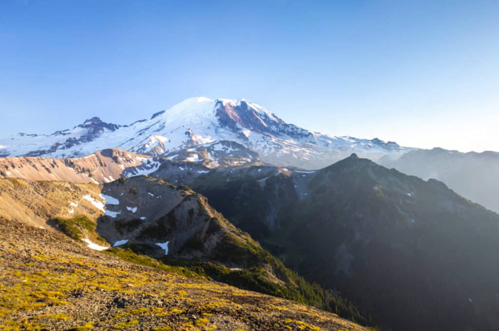
Sourdough Trail is an easy hike that follows the ridge above the Sunrise Visitor Center with stunning views of Mt Rainier and the Cascades in the distance. Because most of the hikes from the Sunrise section follow this exact route before splitting off at Frozen Lake, the Sourdough Ridge Trail is heavily trafficked.
If you also have Mount Fremont Lookout on your hiking itinerary, then you can combine the Sourdough Ridge Trail as this will be the start of the hike up Mt Fremont.
Distance: 3-mile round trip including Frozen Lake
Difficulty: Easy
Elevation gain: 500 feet
Time needed: 1.5 – 2 hours
Trailhead: Sunrise parking lot
Burroughs Mountain Trail
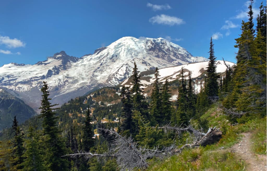
The Burroughs Mountain Trail is a hard hike but brings you up and close to the Mount Rainier glaciers. It’s a great hike for people who like a challenge and it’s one of the best day hikes in Mount Rainier NP.
Along the Burroughs Mountain Trail you basically climb three different mini-mountain tops at the eastern edge of Rainier. You can choose to return at the Second Burroughs which will make your hike a 6-mile round trip. But the very best views are from the Third Burroughs where you’ll stand up close to Mount Rainier’s glaciers and might even hear the ice cracking! This viewpoint overlooks the stunning White River Valley with Mount Rainier towering above, a spectacular sight!
Distance: 6 until the Second Burroughs, 9 miles until the Third Burroughs
Difficulty: Hard
Elevation gain: 2,500 ft.
Time needed: 3 to 6 hours
Trailhead: Sunrise car park
Best Mount Rainier hikes in the Carbon River area
Tolmie Peak Fire Lookout
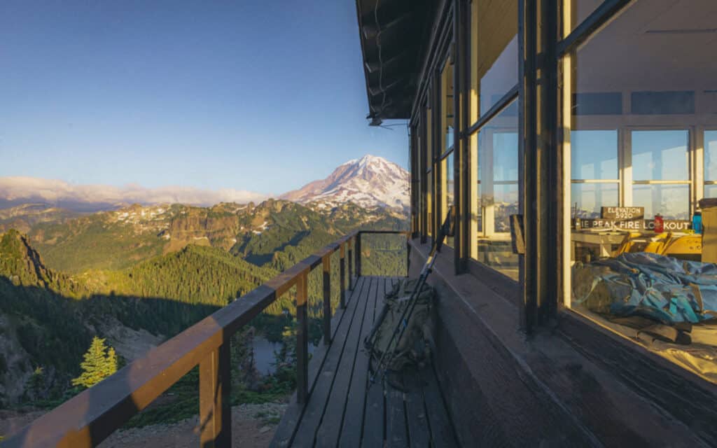
The Tolmie Peak trail is one of the best hikes in Mount Rainier NP. Perched above a mesmerizing azure lake, the Tolmie Peak Fire lookout boasts panoramic views of the majestic Mount Rainier towering above the landscape.
The trail begins with a gentle start through dense forest and remains mostly flat for the initial mile and a half, before gradually ascending towards the fire lookout. The ascent involves climbing 1,000 feet over just over a mile, placing this Mount Rainier hike comfortably in the moderate difficulty range.
Eunice Lake, the picturesque blue body of water visible from the lookout, offers a great spot for lunch following the climb. In spring and summer, there are fields of wildflowers blooming, offering incredible views!
Distance: 5.6 miles
Difficulty: Moderate
Elevation gain: 1,555 ft
Time needed: 2,5 – 4 hours
Trailhead: Mowich Lake Campground on Mountain Meadows Road
Spray Park Trail
The Spray Park Trail offers some of the best meadow views of the entire park. Especially in the summer season, you will walk through fields of wildflowers. Bring bug spray though, because especially in the meadows they will attack you.
Distance: 8 miles
Difficulty: Hard
Elevation gain: 1,700 ft.
Time needed: 4 to 6 hours
Trailhead: At the end of Mountain Meadows Road
Mount Rainier hike in the Ohanapecosh area
Silver Falls Trail
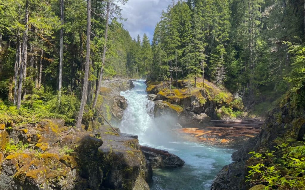
While the Silver Falls Trail doesn’t offer Mount Rainier views, it has some completely different features that makes this hike so interesting. You’ll walk through a stunning old-growth forest, characterized by moss-draped ancient trees, a hallmark of the Pacific Northwest.
The trail follows the vibrant blue Ohanapecosh River with stunning views of the Silver Falls. It is a lovely short and family-friendly hike, perfect as a morning or afternoon walk.
Distance: 3.4 miles
Difficulty: Easy
Elevation gain: 700 ft.
Time needed: 2- 3 hours
Trailhead: Ohanapecosh Visitor Center
Timed Entry Reservations for Mount Rainier in 2024
In 2024, a timed entry reservation is required for two areas in Mount Rainier National Park. Each corridor requires a separate vehicle reservation.
- Paradise Corridor coming from the southwest between Nisqually Entrance and Stevens Canyon Entrance from May 24 until September 2 when you plan to enter the park between 7 AM and 3 PM.
- Sunrise Corridor coming from the northeast between White River Entrance and Sunrise from July 3 until September 2 from 7 AM to 3 PM.
You can buy the Timed Entry reservation only on the website of Recreation.gov. A portion of timed entry reservations will be available approximately three months in advance in blocks. If you’ve missed out on securing your Timed Entry reservation then don’t worry because next day timed entry reservations will be available at 7:00 pm Pacific Time (PT) for next-day entry starting on May 24, 2024, for the Paradise Corridor and July 3, 2024, for the Sunrise Corridor on a daily rolling basis.
Paradise
- February 21, 2024: Entry to the park from May 24 – June 30 2024
- April 1, 2024: Entry to the park from July 1 – July 31 2024
- May 1, 2024: Entry to the park from August 1 – September 2 2024
Sunrise
- April 1, 2024: Entry to the park from July 3 – July 31 2024
- May 1, 2024: Entry to the park from August 1 – September 2 2024
Entrance fee for Mount Rainier National Park
To enter Mount Rainier National Park you need to pay an entrance fee. You can either purchase the entrance pass upfront online or buy your entrance pass at the kiosk of the National Park entrance. This is a cashless payment, so make sure to bring your card.
The entrance fee for one vehicle and a maximum of 15 passengers for seven consecutive days is $30. There are no cheaper day tickets available.
If you plan to visit three or more US National Parks, then the America the Beautiful National Park Pass for $80 is recommended.
Where to stay near Mount Rainier
Mount Rainier National Park is home to two lodges, Paradise Inn and the National Park Inn. Besides these lodging options, there are also four campgrounds known as Cougar Rock, White River, Mowich Lake, and Ohanapecosh.
Lodging reservations in the park fill up quickly, often months in advance. So to secure accommodations within Mount Rainier National Park, I highly recommend making reservations well ahead of your planned visit.
Outside of the park there are plenty of other options. From cozy cabins to luxurious holiday homes with hot tubs or other amenities.
Paradise Village
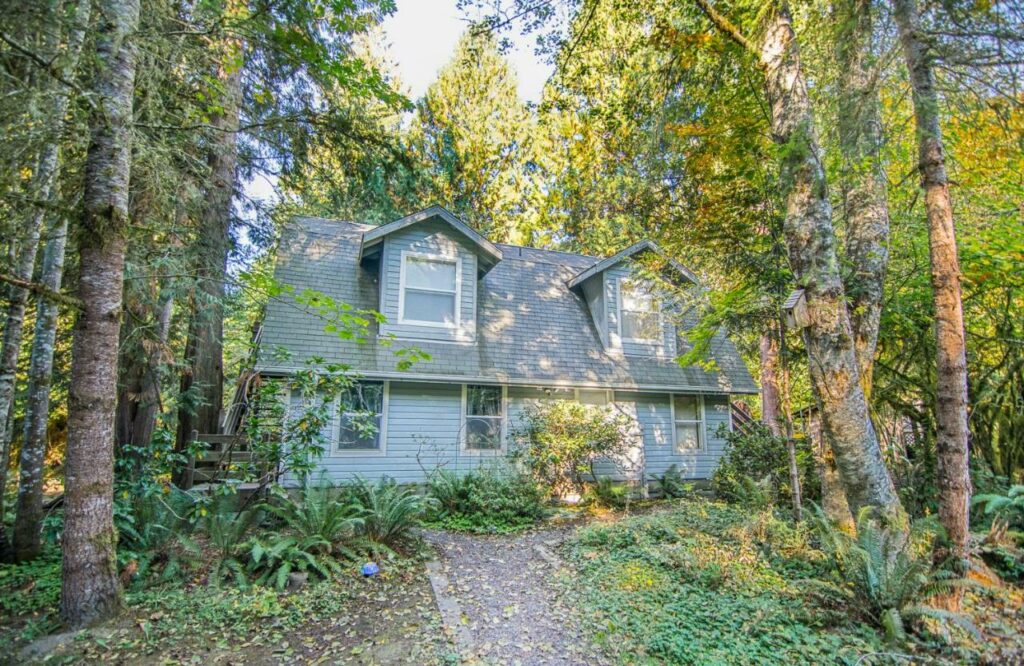
Minutes away from the Longmire entrance is Paradise Village, a stunning property with updated rooms and cozy cabins. There is even a wood-burning hot tub to relax after a day of exploring.
Check here current prices and availability for Paradise Village
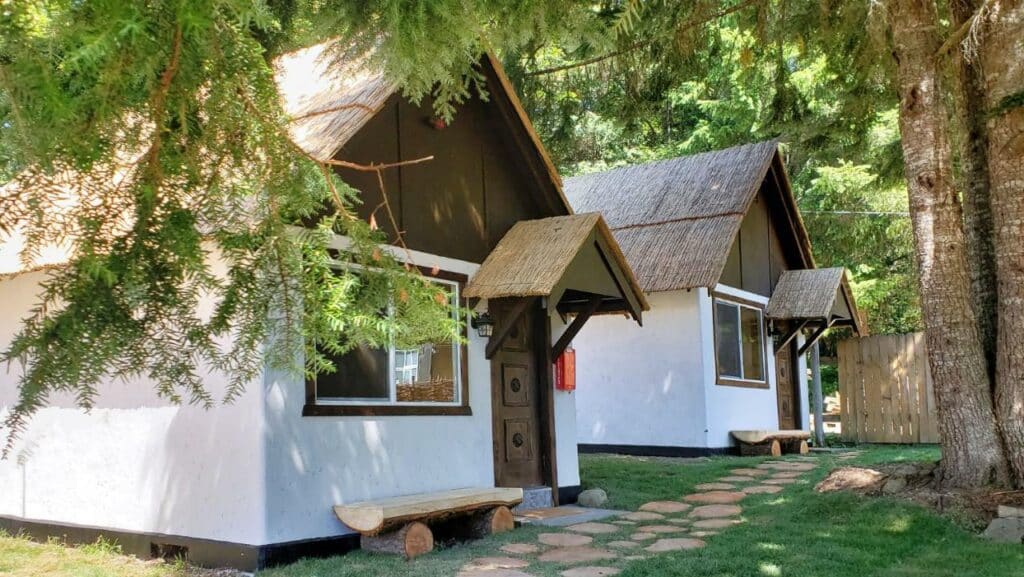
Mountain Meadows Inn & Chalet Suites
We stayed here and can say from our own experience that it is a great base to explore Mt Rainier. Everything from check-in until check-out is well-organized and the room is cozy and very clean. You even get a lot of yummy goodies during your stay and breakfast is included as well!
Check here current prices for Mountain Meadows Inn & Chalet Suites
What is the best time for hiking in Mount Rainier National Park?
Summer, from late June to early September and Fall, from late September to early October, are the best months for hiking in Mt Rainier. However, both seasons vary a lot, with summer being the peak season while in fall the crowds thin out.
In the summer months, all trails are open and visitors can enjoy pleasant temperatures. The alpine meadows are covered in wildflowers and the day hours are long. Perfect for the multi-day trek along the Wonderland Trail. However, bugs are extremely active in the summer months, so it is important to be prepared with bug spray.
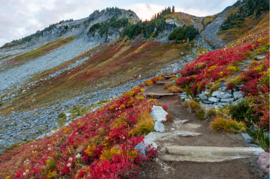
Fall on the other hand is the sweet spot, if you ask us, for hiking in Mount Rainier NP. The crowds thin out, and the weather remains pleasant, with cooler temperatures and fewer bugs. And besides, that, the autumn foliage adds vibrant colors to the landscape. The Huckleberry bushes turn red along many trails, creating stunning views and a beautiful contrast with Mount Rainier. Late fall some facilities and services may begin to close as the season progresses, so keep this in mind when planning a fall trip to the park.
Spring and Winter are not the best time for hiking in Mt Rainier National Park due to snow at higher elevations. Also, road closures limit access to certain areas of the park. In winter snowshoeing and cross-country skiing are popular activities in Mt Rainier NP. Spring does offer the opportunity to see the waterfalls at their peak flow due to the snow melt, and the landscape comes alive with greenery. However, weather can be unpredictable, and trails may be muddy or partially snow-covered.
How much time to explore Mount Rainier National Park?
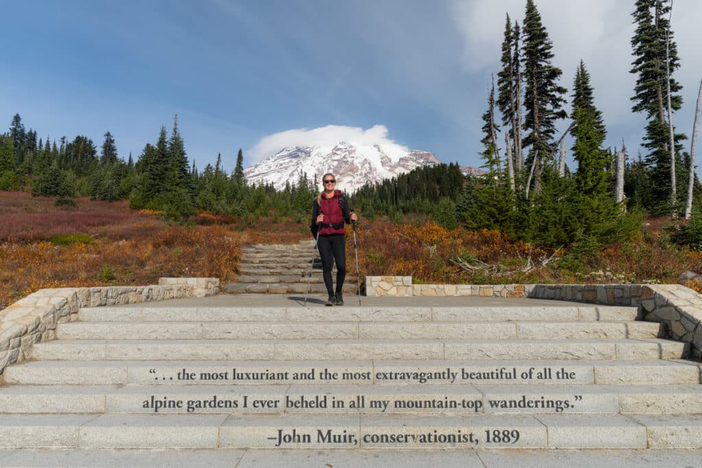
There’s so much to see in the park and plenty of amazing Mount Rainier hikes to do that you can be busy for weeks. Deciding on how much time you want to spend around Mount Rainier largely depends on which trails you choose to hike and in which area. As explained before, the different sections of Mount Rainier are quite far away from each other. For example, the drive from Paradise to Sunrise can take up to two hours in total. So first decide on which section of Mount Rainier you want to explore, and then you can narrow it down based on which hikes you want to do and how much time that will cost you.
Generally, I would advise you to stay at least 2 – 3 days around Mount Rainier to explore the highlights and make the most out of your 7-day valid entrance ticket.
More USA travel inspiration
I hope you enjoyed this complete guide about the best hikes in Mount Rainier National Park. For more USA travel inspiration, head over to our other guides.
Washington
Skyline Trail in Mount Rainier National Park
Oregon
15 stunning Oregon hikes with waterfalls
How to visit the Painted Hills in Oregon
Smith Rock State Park visitor’s guide
Trail of Ten Falls in Silver State Park Oregon
How to visit the Natural Bridges in Oregon
New York City
30 best things to do in NYC at night – The Complete Guide
20 Best Viewpoints in NYC – The Complete Guide
Best places to stay in NYC – The Ultimate Guide
Alaska
15 best Alaska Helicopter Tours you must consider!
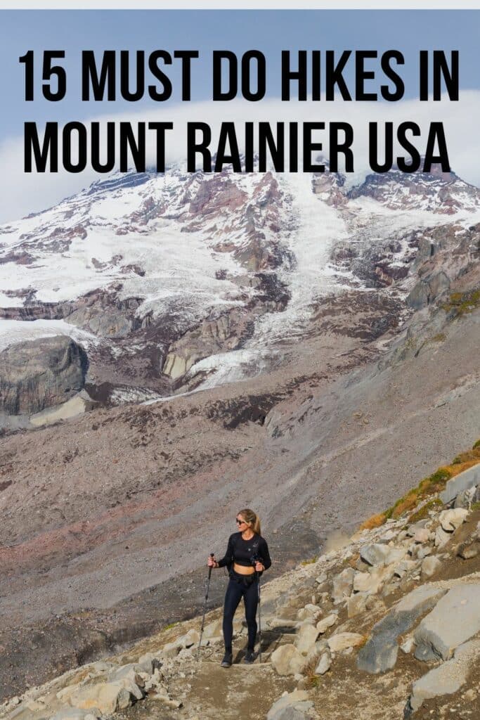
Did you find this post useful? Save THIS PIN to your Pinterest board on Pinterest to read it later again.

This post may contain affiliate links
We hope this guide will help you plan your travels! If you consider booking your accommodation, tours or rental car via our affiliate links, you support this blog because we earn a small commission at no additional cost to you!